These last weeks have been pretty busy for me so much like with my previous post I’m just going to load some pictures from a couple of hikes that I’ve done with friends to give you an idea of what it looks like a bit more here in Austria!
#1 : To Duisitzkarsee
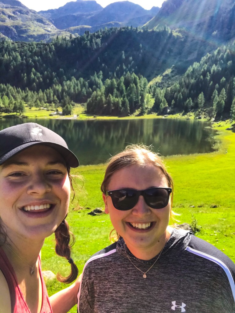
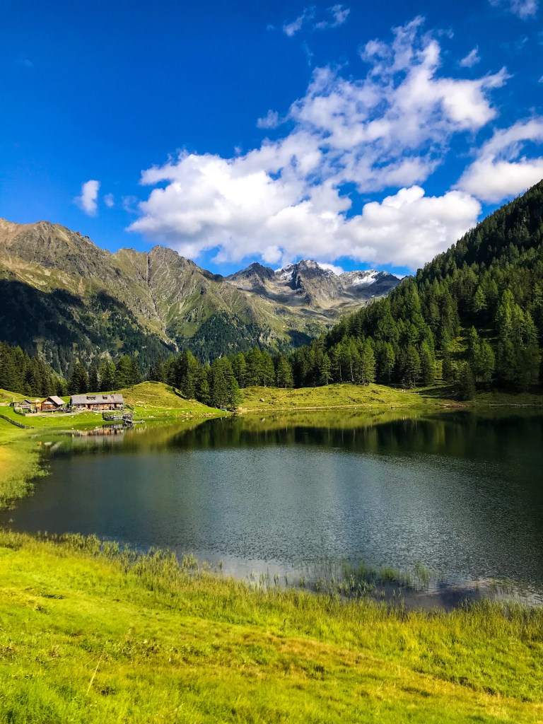
This was a small hike that I took with a friend of mine from my Bible school in Sweden, Rahel. This hike was about a 20 minute drive outside of Schladming where we both live right now. It was pretty chill and the view at the top was so beautiful!
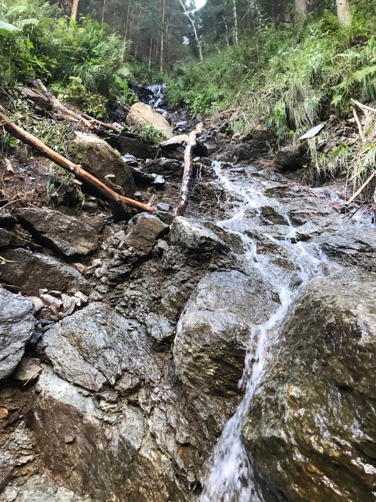
The path up to the lake often went back and forth zigzagging through this waterfall which was really beautiful and so cool! Rahel and I at the topOur final destination with a beautiful view of the lake and surrounding mountains
#2 Scheichenspitze
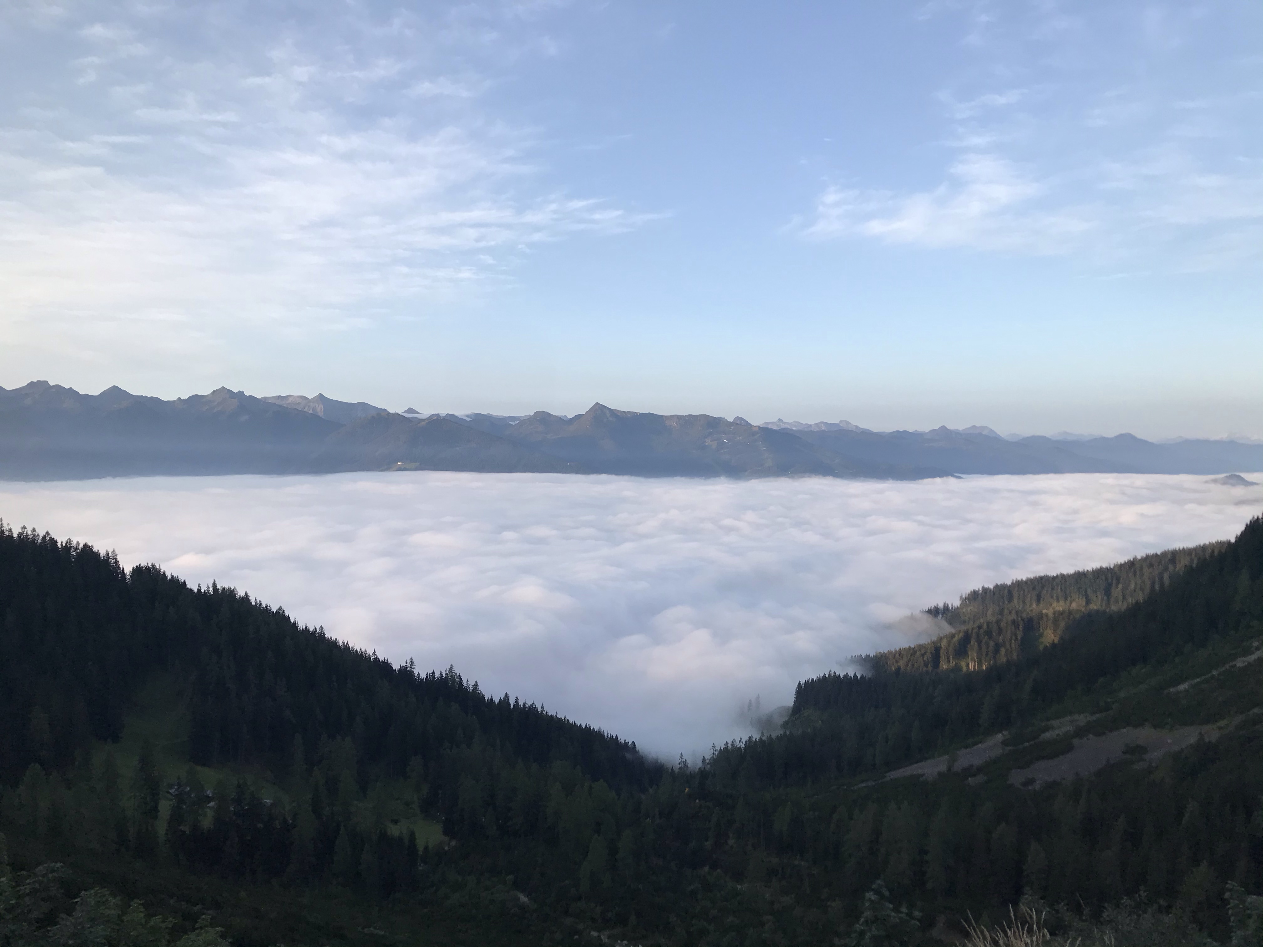
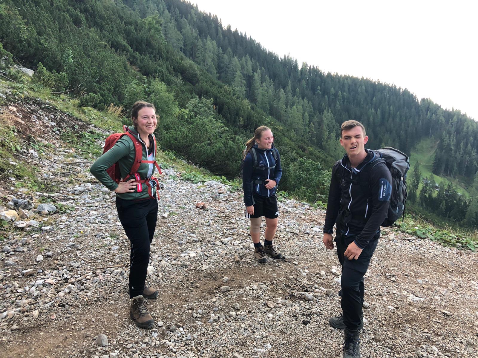
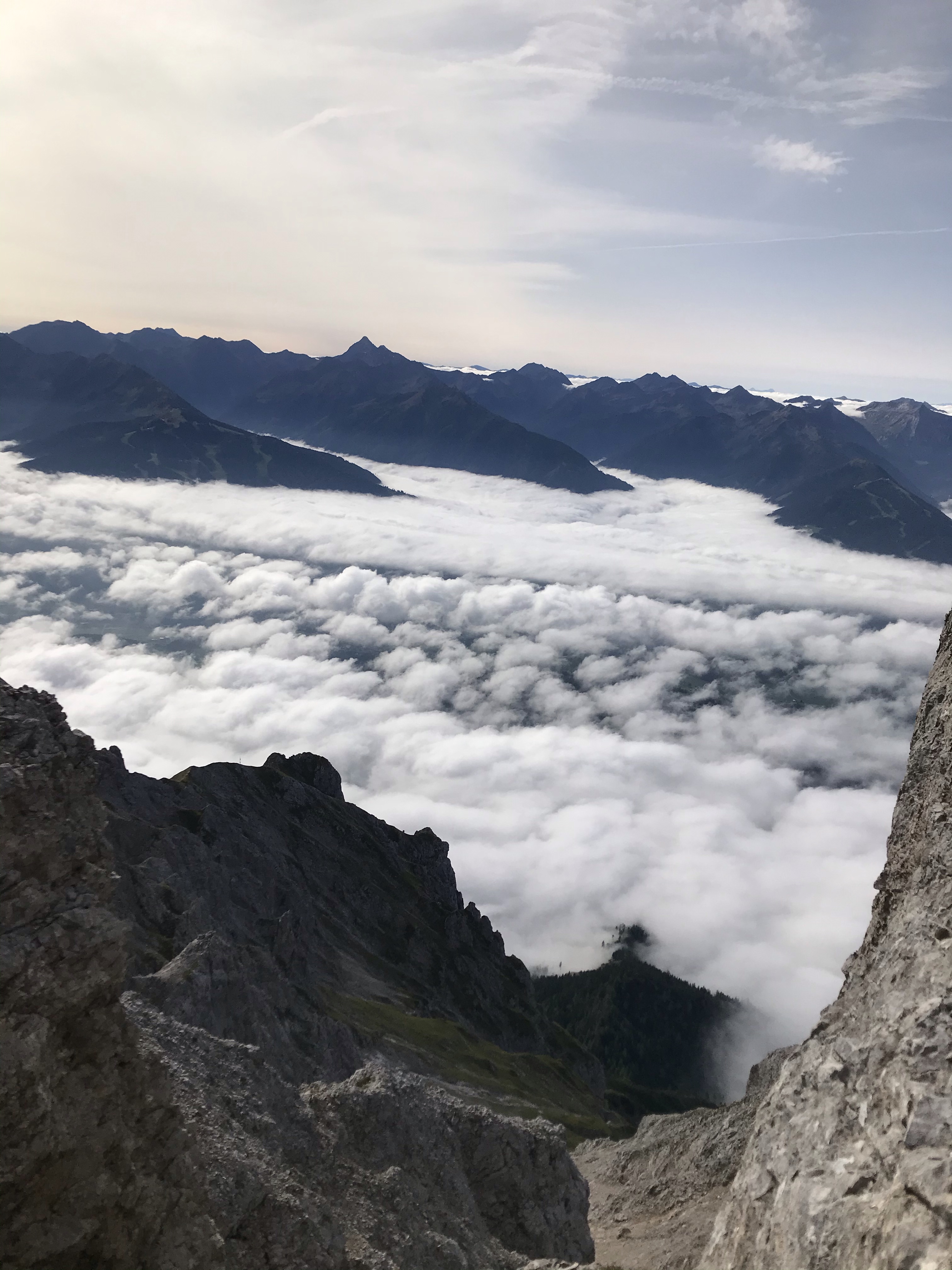
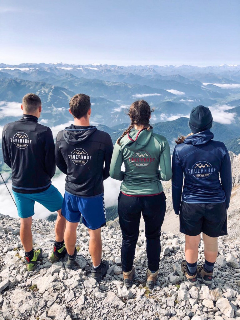
This was a longer and more challenging hike that I did with four coworkers of mine. In total it took us about 6 hours from start to finish and the peak is at a height of 2667 m. You better believe it’s pretty hard to breathe at the top. We left for the hike around 6:30 in the morning, below the cloud line it was still a bit dark but as soon as we passed above the clouds it was so light!
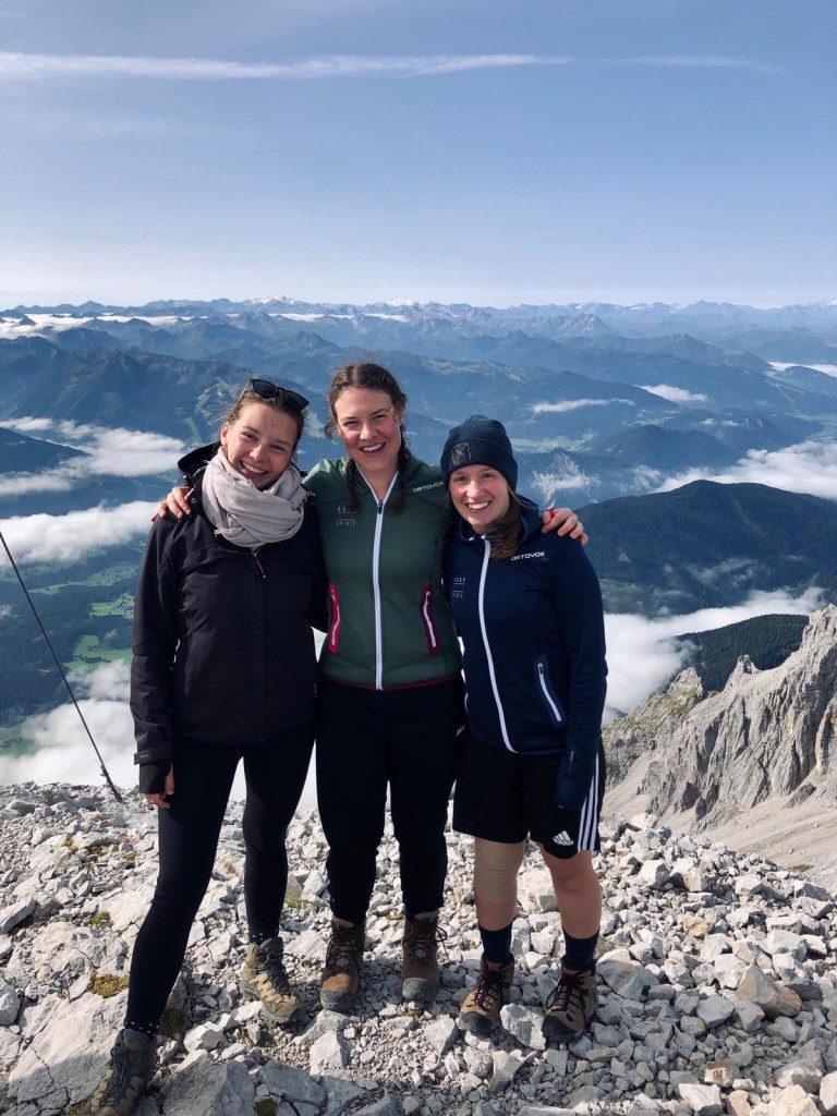
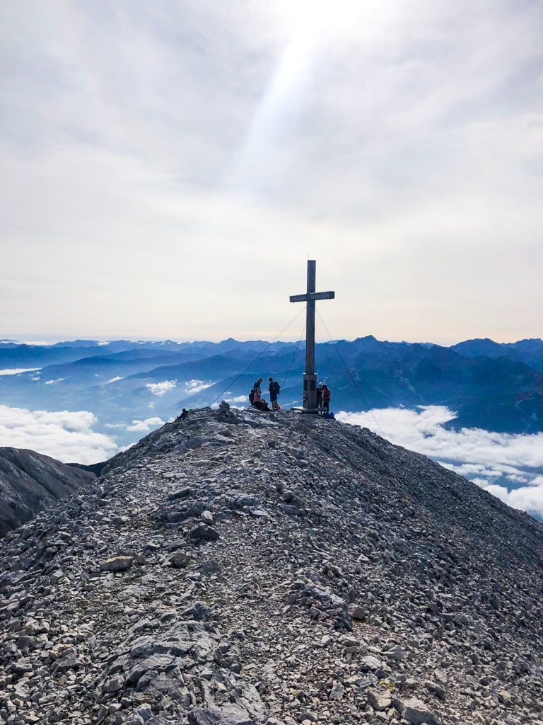
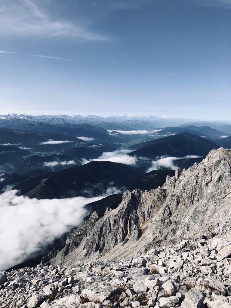
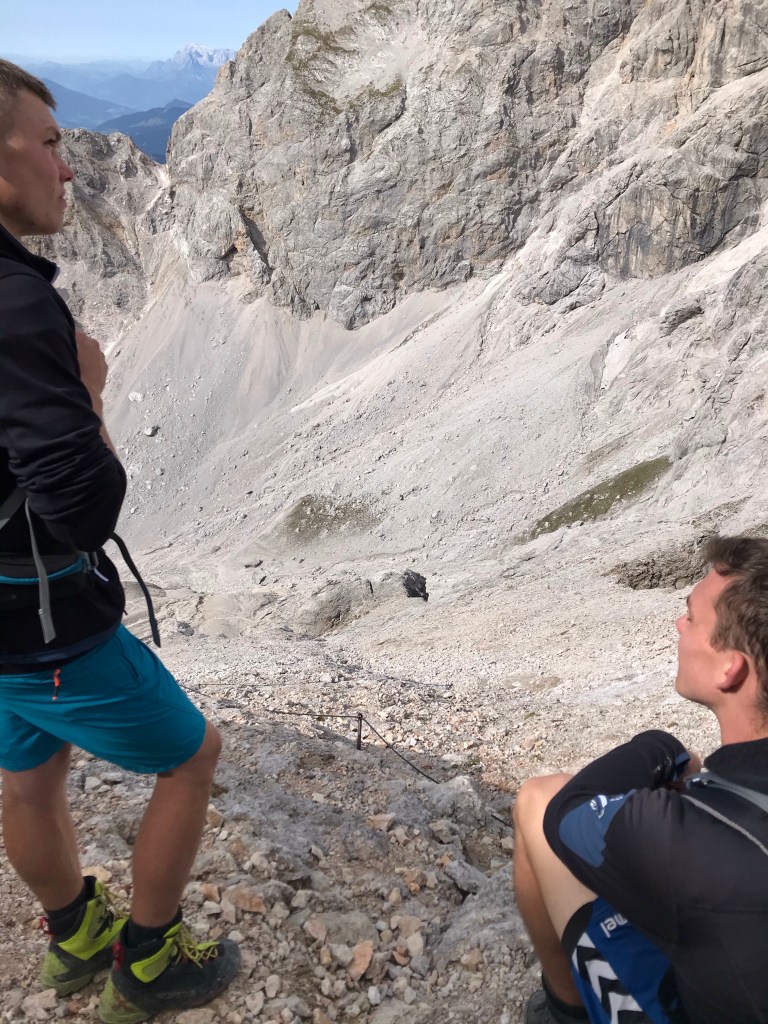
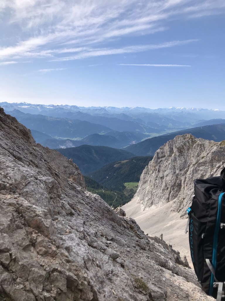
You can’t see in this photo the place that we started our hike because it’s below the cloud line but this was taken after about a half hour of walking About an hour in, Me, Amelie and JohannTaken sometime between hour 2 and 3 Finally made it to the peak in somewhere around the 3 1/2 hour mark I think. Crystal, me and Amelie.At the peak of most of these big hikes there is a cross. You can actually see this cross from Schladming down in the valley on a really clear day. But like, that view though! Paul, Johann, me and Amelie representing that we are indeed all working at Tauernhof while admiring the view of the surrounding mountains. We actually were super fortunate with the weather on this hike. Though it was cold at the top I actually got a bit sunburnt throughout the day. We ended up being really glad that we went on that particular weekend because it snowed the weekend after and that would have made it impossible for us to do it without more equipment.Starting back down again Starting the harder part of the decent. We basically spent 2 hours sliding down rock fields which is actually really really fun. The only downside is that my feet were so so sore by this point because I was wearing hiking shoes that didn’t fit me very well. (My good hikers are still in Canada because I’m dumb) You can kind of see the chain near the bottom of the picture that you can hold to help stabilize you on this first really steep part of the route, though it’s actually there more to help people climbing up than people going down. We hiked down to the bottom of this ravine and then a bit further. The clearing that you can see in the middleish right side of the picture is kinda near where we ended our hike. The actual place would be a bit more to the right side, a bit further down from the clearing, behind the peak on the right. It took us about 2.5 hours to get down.
By the end of this hike we were all just wiped. We ended at the Gondola station for the Dachstein mountain where we ate traditional Austrian Kaiserschmarn for lunch around 1:30 and were picked up by friends!
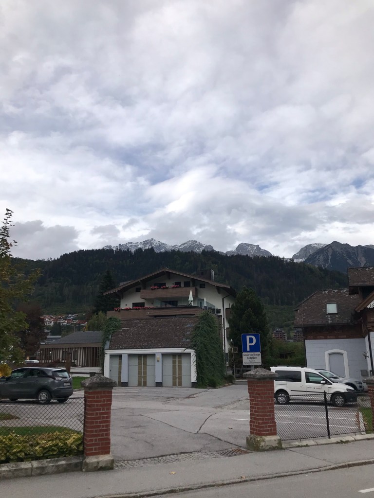
If you look up to the 3 mountains in the top of this picture, the left most peak is Scheichenspitze which is where we hiked to. Because of the bad photo quality you can’t see the cross but I could see it very faintly when I took this photo. We started from a bit higher up so not right in the bottom of the valley but it was still quite a long ways .